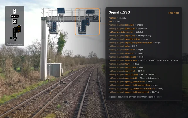
Railway signalling
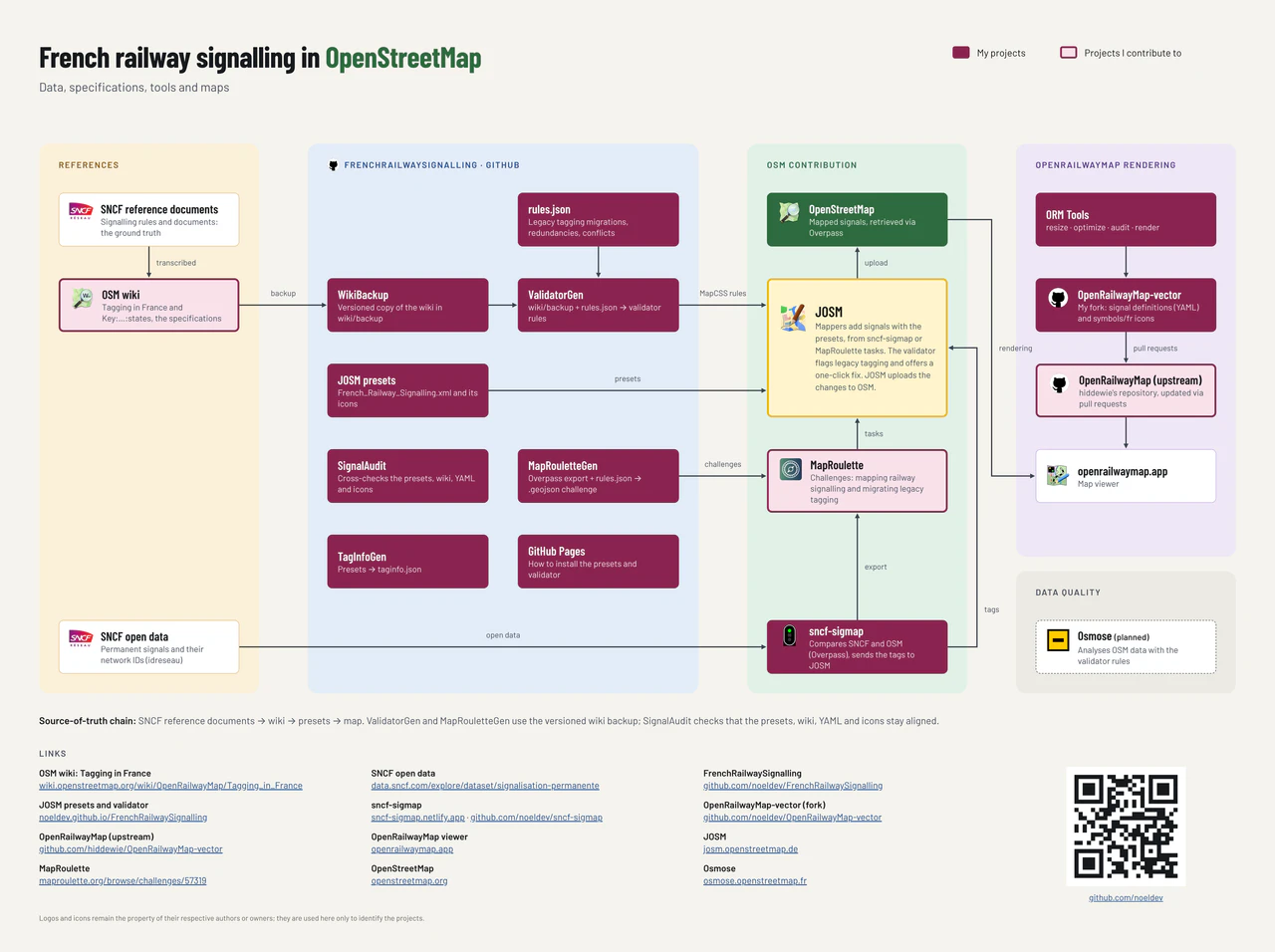
I contribute to OpenStreetMap and OpenRailwayMap by documenting the French railway signalling and building the tools that help mappers add it, from the open data published by SNCF Réseau to the icons drawn on the map.
SNCF Permanent Signalling
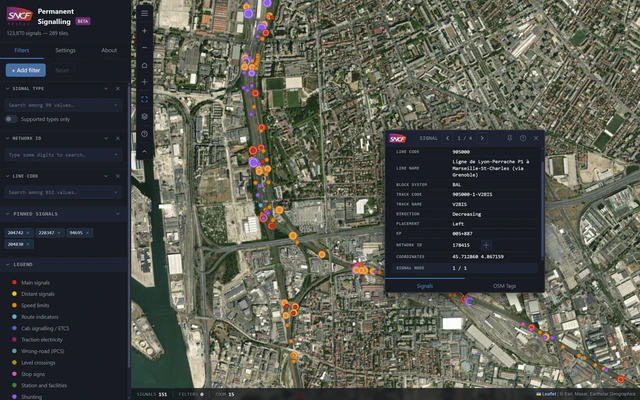
A web map of the permanent signalling open data published by SNCF Réseau, built to help OpenStreetMap contributors map French railway signals.
- Filters by signal type, network ID and line code, with pinned signals
- Comparison of SNCF records with the tags already present in OpenStreetMap
- Validation page that flags conflicting or isolated records
- Export of MapRoulette challenges split by region
JOSM presets and validator rules
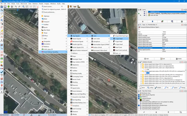
French Railway Signalling presets and validator rules for the JOSM editor, covering the railway signalling and infrastructure specific to France.
- Preset tree with an icon for every French signal, sign and plate
- Validator rules generated from the Tagging in France documentation
- One-click fixes that replace legacy tagging with the current scheme
OpenRailwayMap rendering
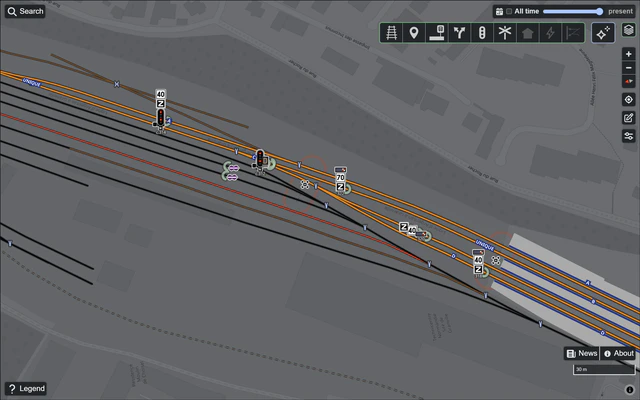
Contributions to OpenRailwayMap: the French signal icons and the rendering rules of the French section of the signals layer.
- Layered light box icons built from a base box and one aspect per light
- Signals, boards and signs combined into a single composition per node
- Rendering rules kept in sync with the JOSM presets and the wiki
MapRoulette challenges
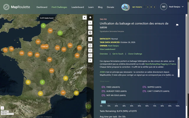
Cooperative challenges that guide mappers through adding French railway signals and migrating legacy tagging to the documented scheme.
- Tag fix tasks: each one proposes the correction, ready to review and apply
- Challenges generated from the validator rules and the SNCF open data
Tagging in France
Documentation of the French railway signalling tagging scheme on the OpenStreetMap wiki, the reference used by the presets, the validator and the rendering.